
Showing posts with label Boston. Show all posts
Showing posts with label Boston. Show all posts
Friday, September 9, 2011


Thursday, July 8, 2010
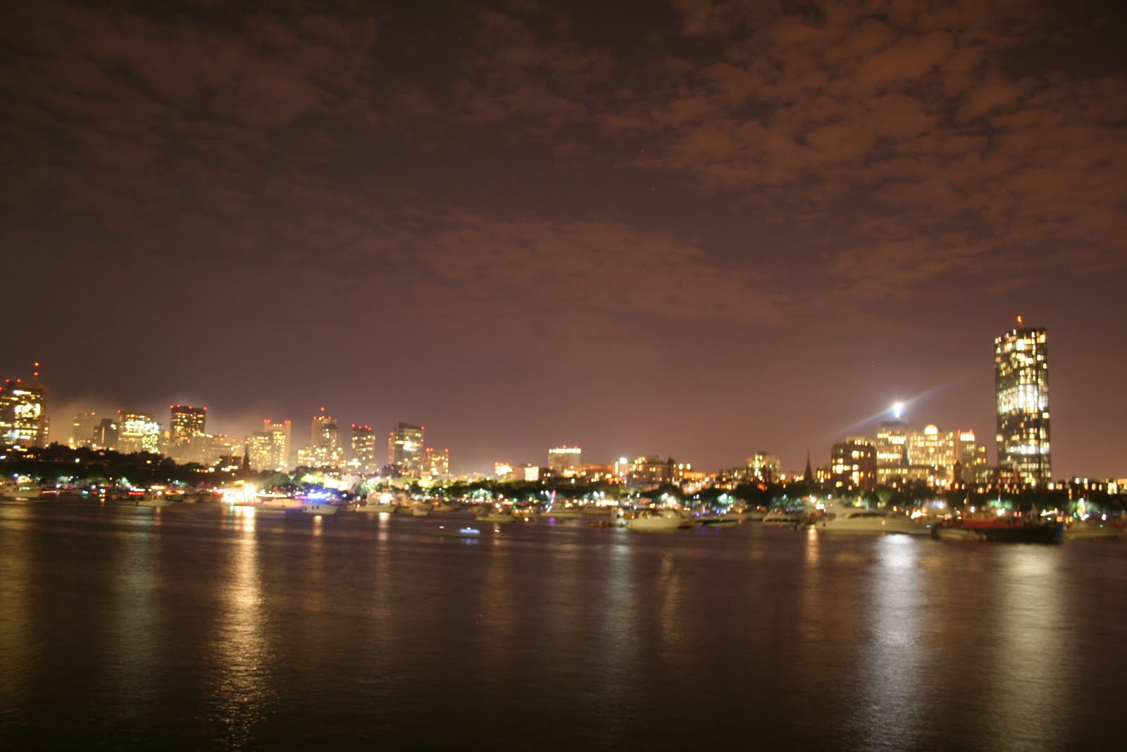
Photography: Boston: Fourth of July

Afternoon skyline


Cambridge

Dusk skyline

fire works!


Zoomed in while using a long exposure


my favorite fireworks of the night


Wednesday, May 12, 2010
Thesis: Final Crit
Thesis Statement: Landmarks and historic sites throughout the city have become cliche’ and kitschy, overlooked and then delegated to the realm of tourism. The people, who work and live in the city, are in turn, disassociated from these spaces because they do not engage these sites in their everyday activities. By focusing on one of these detached environments, this thesis will respond to issues of memory, perception, and the potential for the human activity of local cultures to inspire new and vibrant relationships within these neglected spaces of the city. A series of interventions will be developed that link and connect the tourist aspect of these environments with the everyday activities of the city’s inhabitants. The existing infrastructure that links these zones will also be redeveloped, rethought, and modernized. These associations will demonstrate how memory and the sense of place can provide the city’s inhabitants with a strong connection to the site.


Friday, April 23, 2010

Sunday, March 28, 2010
Thesis: Boston Common Site: Prelim Plan
Homeless Halfway House/ Shelter With Integrated Community Learning Kitchen, Support Faclities, and Restaurant Hall
 This plan has been changed since my pin up on Thursday. The overall idea of the plan is beginning to work, the sections that work with this plan are not what I want the architecture to look like at all. The form is beginning to draw the city into the space, while directing the eye and user towards the history located on the site.

Monday, March 22, 2010
Architectural Photography: Photo Walk
These photos were all taken using my Cannon Rebel XT with a Cannon Telephoto Lens (55-250). Instead of having class inside, my class met at Beacon Hill in Boston to walk around and take photos at sunrise. The intensity of the shadows was the best part of shooting during this time. I am really interested as you may know in Macro photography, so most of my photos represent the architecture of Beacon Hill in this way.


Monday, February 15, 2010
Architectural Photography: Metering

I wanted to capture all zones 0-10.
0= sky
10= dark alcove
0= sky
10= dark alcove

Zones 0 to 10
I wanted to capture the detail of the entire scene, so I used a high f-stop (smaller diameter) to do so.
0= sky and high light on concrete
10= alcove
I wanted to capture the detail of the entire scene, so I used a high f-stop (smaller diameter) to do so.
0= sky and high light on concrete
10= alcove

I wanted to capture Zones 0-10.
I'm not sure if this means that I actually did capture the blackest black and the whitest white. There is no absolute white or black in the photo, which I took as a good thing because the high and low ends of the photo are not burned out. But when using the zone system do I need to have these values in the photo?
0= sky and facade
10= lower right and flag poles
Wednesday, February 3, 2010
Thesis: Site: History

Above is a diagram showing the time-line of what occured on the Freedom Trail in relation to the physical Freedom Trail path.
Friday, January 29, 2010
Photography: The Mission Church: Boston

Yesterday we had some very weird weather... (typical Boston weather none the less) I tried to capture the snow flurries in front of the Mission Church. The sky kept burning out... I had a lot of trouble getting the metering correct. I tried photoshopping the image to get some color into the sky, but it just looks really grainy and distorted.... I'm sure there will be many more chances for me to take photos in the snow this winter!!

Monday, January 25, 2010

Sunday, January 24, 2010
Thesis: Site: Analysis: Figure Ground
Below are some diagrams of the Freedom Trail for Urban Cliche' to Civic Engagement: Accessibility and Diversity on the Freedom Trail.

Above is a diagram reflecting the waterfront edge properties in downtown Boston.

Above is a diagram reflecting the buildings directly adjacent to the Freedom Trail.

Above is a diagram reflecting the buildings not immediately adjacent to the Freedom Trail (typically one street away from the Trail).

Above is a diagram reflecting both the directly adjacent buildings and the secondary adjacent ones (blue represents the secondary adjacent buildings).

Above is a diagram reflecting both the directly adjacent buildings and the secondary adjacent ones. This diagram shows the same information as the previous one, yet this one shows the two conditions as a mass of buildings.

Above is a diagram I am currently working on showing buildings adjacent to green spaces within the urban environment.
Subscribe to:
Posts (Atom)